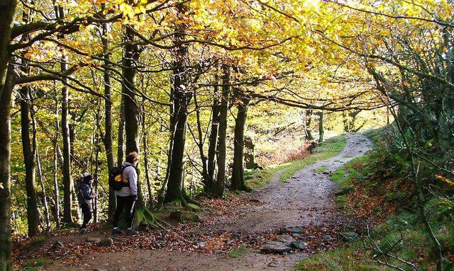
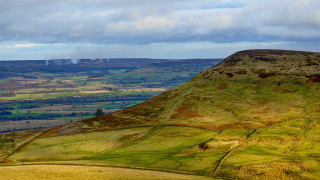
Cold Moor [Broughton Bank]

Cold Moor [Broughton Bank]

Cold Moor [Broughton Bank] Group Walks | Join a Walk

402m Elevation
93m Prominence
England Country

Join group walks, find walking companions and friends, or organise your own!

Classifications

400-499m Tump Sub-Hump

Looking for walking companions?

Don't walk alone! Find friendly walkers to explore Cold Moor [Broughton Bank] together. Join scheduled group walks or start your own.

Elevation

402m

1,319 ft

Prominence

93m

Coordinates

54.4236, -1.1529

NZ550034

OS Map

93

Explorer: OL26N

At the Summit

The summit features a modest stone cairn, offering a photo opportunity and a marker of accomplishment for summit-seekers.

Terrain & Geology

Grassy with occasional rocky outcrops

Cold Moor is primarily composed of sedimentary rocks, primarily sandstone and shale, which have weathered into the iconic rolling hills typical of the Southern Uplands. The landscape boasts a mix of smooth contours and rugged outcrops.

Views & Scenery

From the summit, hikers can enjoy panoramic views of the surrounding Southern Uplands, including the nearby Tinto Hill to the north and the sprawling valleys below.

History & Heritage

Name Origin

The name 'Cold Moor' reflects the often chilly conditions encountered on the summit, with 'moor' denoting the expansive open land typically found in this region.

Historical Significance

Cold Moor holds cultural significance as a lesser-known hiking destination, appealing to those seeking solitude and natural beauty away from crowded routes.

Popular Routes

Broughton Bank Trail

Moderate

A scenic route that weaves through the lush countryside, providing views of the surrounding hills and valleys. Starting from Broughton, it gradually ascends to the summit of Cold Moor.

4.5 km 1.5 hours

Getting There & Facilities

Parking

There is parking available in the village of Broughton, with easy access to the trailhead.

Public Transport

Regular bus services operate from nearby towns to Broughton, making it accessible without a car.

Nearby Facilities

The village of Broughton has a quaint café where you can refuel with a hot drink and slice of cake after your hike. Public toilets are also available in the area.

Safety Information

Known Hazards

  • Be mindful of sudden weather changes and the possibility of boggy sections, particularly after heavy rainfall.

General Safety Tips

  • Check weather conditions before setting out
  • Carry appropriate clothing and equipment
  • Let someone know your planned route
  • Take a map, compass, and GPS device
  • Carry emergency supplies: food, water, first aid kit, torch

Find Walking Companions

Join friendly walkers exploring Cold Moor [Broughton Bank] and surrounding area

Can't find a walk? Organise your own!

Create a walk and let others join you. It's free and easy!

Hills

Some common questions about the hills answered

Are there group walks up Cold Moor [Broughton Bank]?

Many walkers use Walkmates to join or organise walks with others. You can check for group walks around Cold Moor [Broughton Bank] through the maps

Are there other walkers around Cold Moor [Broughton Bank]?

Activity varies by location and time, but Walkmates lets you see whether others have shared walks or shown interest in this area. Find other people through the walking friends search walking friends for Cold Moor [Broughton Bank] search or of course create your own walk for Cold Moor [Broughton Bank]

Can I organise a walk to Cold Moor [Broughton Bank]?

Yes. If there aren’t any walks listed already, you can create a walk and make it available for others to join.

If you're signed up to Walkmates, you can create a walk to Cold Moor [Broughton Bank].

How do I find a walk up this hill?

There are often multiple ways to walk this hill, depending on experience and route preference. Walkmates helps you explore walks and routes that others have shared.

Can I suggest a new route up Cold Moor [Broughton Bank]?

Yes. You can suggest or create routes to share with others. Walkmates focuses on the social side of walking, so routes are used to help people organise walks and explore areas together, rather than as detailed navigation tools or route libraries.

Other uses really appreciate knowledgeable walkers sharing their routes. Share your favourite route to Cold Moor [Broughton Bank] here

The is an error or something incorrect about this hill. How do I let you know?

We always strive to keep the information on Walkmates as accurate as possible. If you find an error, please let us know through the contact form and we'll aim to correct it as quickly as possible